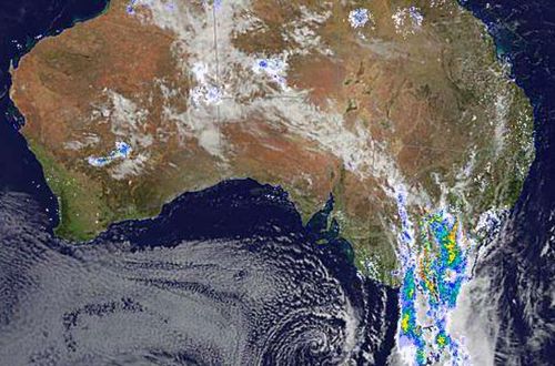
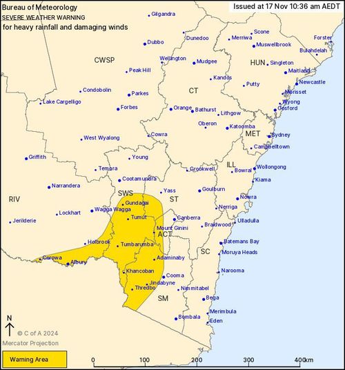
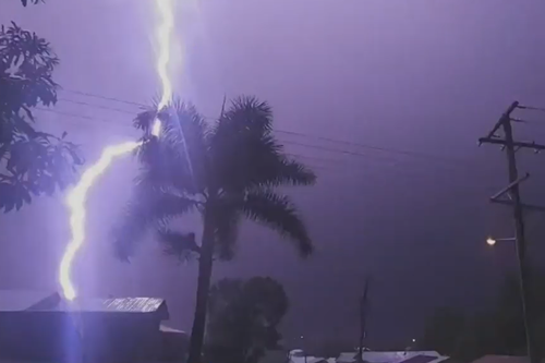
Damaging winds reaching 150km/h and heavy rainfall which could lead to flash flooding are on the way, the SES said today.

The worst of the storms are forecast to head east tonight, crossing the divide and rolling towards the coast and parts of Sydney.
Some southern areas including Griffith, Narrendera, Lake Cargelligo, Lockhart and Darlington Point could also be hit with large hailstones later today.
“Ahead of the thunderstorm risk tomorrow, you should take time to prepare your homes,” NSW SES Assistant Commissioner Colin Malone said.
“Loose items in your yard can be thrown around during strong winds and cause damage to property and injury to people.”
Malone also warned the winds could uproot trees or break off branches and advised people to not park under trees or powerlines.

Flash flooding could also pose a risk and motorists are warned to never try and cross a flooded road.
Victoria’s north-east and large parts of Gippsland are also facing destructive winds and heavy rainfall today.
The Bureau of Meteorology issued a weather warning for the state and said a strong cold front is moving across Victoria, which may bring storms.

Golf ball-sized hail lashes Aussie town
Flash flooding and damaging winds have been forecast for the state’s north-east.
The same warning was issued for Tasmania with the Furneaux Islands and north-east region bracing for severe weather on Sunday afternoon and into the evening.

The tri-state weather warning follows a few days of wild weather for Queensland.
The severe weather swept through central and south-east parts of the state on Friday, sending backyard trampolines flying in Burpengary East and hail battering down on Emerald.
“It is actually somewhat unusual how frequently we’ve seen these severe thunderstorms,” the Bureau of Meteorology’s Pieter Claassen said.
“What we are seeing is definitely severe thunderstorm thresholds being breached.”
Queensland is also bracing for more thunderstorms and rain over the next few days.


