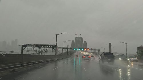
The most persistent rainfall was in inner-city Sydney with Observatory Hill recording 142mm within just 24 hours, smashing the total monthly average of 133mm for June.
“Sydney and some of the eastern suburbs had a month’s worth of rain in the last 24 hours on Saturday,” BoM senior meteorologist Dean Narramore said.

Sydney’s east was mostly inundated with rain while the city’s west received between 25mm and 50mm from Richmond to Badgery’s Creek.
The State Emergency Service (SES) was called to 140 jobs since 6pm yesterday which included storm damage repairs, sandbagging and and fixing leaky roofs.
About 106 of those calls were from Sydney’s metropolitan area and there were two flood rescues carried out in Fairfield and Kogarah.
There are downpours of about 20mm expected to fall across NSW and Queensland today but Narramore said the worst of the rain was over.
“We might see a couple of light coastal showers but pretty much all that persistent, heavy rainfall has now cleared as that low continues to move further away from the NSW coast,” he said.
“We could see some showers in north-east NSW and coastal parts but they’ll only be hit-and-miss and isolated. Nothing like what we’ve seen so generally in the Sydney are it’s mostly cleared up for now.”


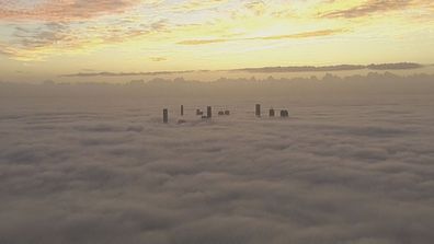
Aussie city all but disappears under sea of fog
Earlier, WaterNSW warned Warragamba Dam was forecast to spill as a result of the rain event, however, the alert was withdrawn this morning.
Overnight Queensland saw 15mm and 25mm in south-eastern parts of the region.
However, heavy downpours are likely to subside as a stretch of cloud band moves south, expected to hit Victoria early next week.
“The cloud band that’s brought all that rain has now moved offshore so the rain up there is all done as well,” Narramore said.


