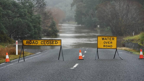
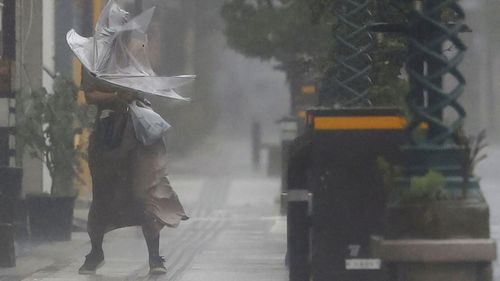
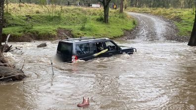
Residents along Australia’s east coast have been told to brace for more volatile weather as flood victims continue clean up from last week’s deluge.
The Bureau of Meteorology said a low-pressure system is forming in southwest NSW today and is expected to move east, hitting the southern coast on Wednesday.

“Heavy rainfall and strong winds are possible somewhere along the southern half of the coast, but there’s some uncertainty for the exact location,” the bureau said.
The State Emergency Service (SES) has warned residents to brace for further flooding as sodden land and full dams could “exacerbate” current issues.
“With catchments wet and many dams at capacity, waterways are very sensitive to rainfall, and further river rises and renewed flooding are likely for the inland catchments,” a spokesperson said.
Further north, Queensland residents living between Longreach and Emerald could expect a possible thunderstorm today, while a severe thunderstorm could hit tomorrow between Clermont and Stanthorpe.
The storm could produce “damaging winds, large hail and heavy rainfall, the bureau has warned.
Queensland Fire and Emergency have reminded residents in affected areas to prepare for the worst.

“Clear the backyard and gutters, trim trees and overhanging branches and stay up-to-date with the latest forecasts,” a statement said.
Queensland Fire and Emergency have reminded residents in affected areas to prepare for the worst.
Elsewhere, Victoria is set for a grey start to the week, but conditions are expected to stabilise headed into the weekend.
In South Australia, cool and rainy temperatures will kick-off the week with mostly sunny skies returning from Wednesday.
Those living in the west are set to enjoy a week’s worth of sunshine.


