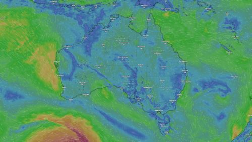
Several Australian states and territories are being warned to brace for severe storms and the potential for flash flooding following a days-long heatwave that gripped much of the nation’s south.
Sarah Scully, meteorologist at the Bureau of Meteorology (BoM), warned that large swaths of the country could expect heavy rainfall tonight.
“Severe thunderstorms are possible across a broad area, particularly for inland north-east New South Wales and into southern inland Queensland, as well as eastern South Australia, western New South Wales and western Victoria,” she said.

“The main risk is heavy rainfall, but damaging winds are possible as well.
“And for Sydney, Melbourne and Adelaide, they could see storms possibly severe in some of the outer suburbs.”
Parts of Queensland may be susceptible to severe flooding if rainfall hits regions that have already been inundated with rain.
“For Queensland, thunderstorms are possible today across most districts,” Scully said.
“Severe storms may bring heavy rainfall across parts of the southern interior, and this is where river systems are already really swollen, so increasing the risk of riverine and flash flooding.”
Tonight’s forecasted storms come after a prolonged period of heat in which many states saw the mercury soar close to 40 degrees.
”Focussing on South Australia, it reached a temperature of high 30s to low 40s. Adelaide got to 39.8 degrees, which is the hottest day since early March, and as high as 44 degrees in Maree,” she said.
“It was also very warm around Victoria and Tasmania.
“With maximum temperatures up to 12 degrees above average, Hobart got to 26 degrees.”
Yesterday Queensland bore the brunt of the storms, with more than 50 millimetres of rain falling in the Daintree, while Crofty in the Darling Downs region recorded 41 millimetres.


