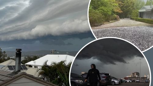
Millions of people on Australia’s east coast, including the Sydney and Illawarra region, can expect more thunderstorms and heavy rainfall later today.
The wild weather lashed Victoria, parts of South Australia and south-western New South Wales yesterday, and severe storms are forecast for large parts of NSW and Queensland from this afternoon, reports Weatherzone.
Heavy rainfall is forecast, with 30mm to 60mm in most parts, but some isolated areas may be in for up to 100mm.

There is also the risk of large hail, damaging hail and flash flooding.
For Sydney residents, the main hazard is a deluge which could last until late tomorrow, but damaging winds and large are hail are possible.
Other areas of NSW likely to be impacted are the Mid North Coast, parts of the Hunter and Illawarra.
The State Emergency Service (SES) is urging people to prepare for the extreme conditions.
“Clear your gutters, trim trees and bushes away from properties and move your vehicles away from trees and powerlines,” said acting commissioner Greg Swindells.

Sydney swelters as heatwave intensifies across state
“Put away or tie down loose items so they don’t get blown around in the wind.”
He also reminded motorists to avoid driving through floodwaters.
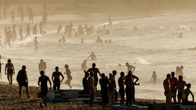
NSW can expect some relief from the heat by tomorrow, with temperatures forecast to plunge to a top in the mid-20s for Friday and the weekend.
By Sunday, the rain and storms over the central and southern NSW coast will ease, with clear skies and hot conditions in the morning before the rain returns.


