Queensland’s south-west has been smashed by wild weather in an intense rain event only seen once every half-century.
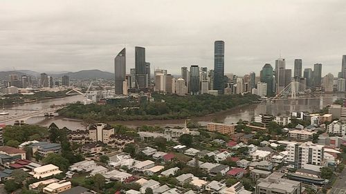
The south-east and north of the state are next in the firing line, according to the meteorologists, with moderate rain to fall across the Gold Coast, Logan, Brisbane and the Sunshine Coast.
Other parts of the state have been inundated by the wet weather event in the last 24 hours.
Streets were underwater and homes were inundated in the Charleville area, while nearby Lesdale recorded its wettest November daily rainfall since the year 2000 after 153mm poured down in a two-hour period.
“I’ve been in this area on and off most of my life, my wife has too and we’ve never seen anything like that in one area,” Lesdale resident Russell Tickell said.
While the central Queensland coast avoided the heavy rain, a system is threatening 200mm is moving offer quicker than expected.
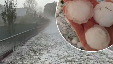
Golf ball-sized hail lashes Aussie town
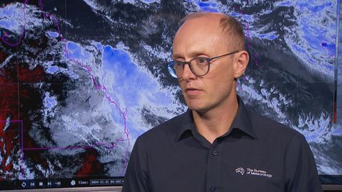
Meteorologist Steve Hadley said most of the risk has diminished through the night and this morning.
“A few places did see around 100mm or more,” Hadley said.
“Carmila, some off-shore islands and around Merani west of Mackay.”
The state’s north is in the firing line for severe weather tonight with the potential to cause flash flooding.