In Oakey, a small town in the Toowoomba locality, the mercury hit a low of -5.6 degrees by 6.30am today, according to the Bureau of Meteorology (BoM).
Due to wind factors, conditions felt closer to -10 degrees, the weather bureau said, breaking the official record for this time in May for the region, which was previously set in 2019 with a low of -4.4 degrees.
Along the state’s coast, Coolangatta dipped to just 3 degrees this morning, while in Brisbane it was just 9 degrees and -1 in Ipswich.
In the ACT, Canberra reached a low of -2C, while in Sydney it was cooler than Melbourne this morning, with each capital city dipping to lows of 9 and 10 degrees respectively.
:saturation(1.54)/https%3A%2F%2Fprod.static9.net.au%2Ffs%2Ff61ec024-d6b8-4d01-8968-4a28e28eb2ee)
A powerful low-pressure system will continue to create hazardous surf in NSW after record-high waves yesterday.
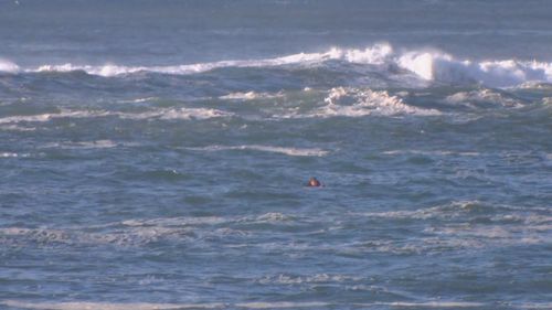
Though the frosty conditions haven’t deterred some keen surfers in Sydney’s east, where photos have been snapped of locals enjoying the large swell.
Read Related Also: Tommy Fury overcomes dramatic knockdown to hand Jake Paul first boxing loss
The BoM has warned that heavy surf could lead to damage and coastal erosion between Seal Rocks and Broken Bay this morning, while surf and swell conditions will remain hazardous around Byron Coast, Coffs Coast, Macquarie Coast, Hunter Coast, Sydney Coast, Illawarra Coast and Batemans Coast today.
The warnings come after waves measuring more than 14 metres in height were seen on the NSW coast yesterday.
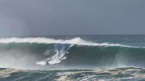
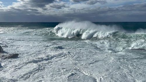
“Waves this large are seldom seen near Sydney at any time of year,” Weatherzone meteorologist Ben Domensino said.
NSW SES received more than 100 calls for assistance spanning from Newcastle to Nowra yesterday for emergencies including fallen trees and roofs pulled off homes.

Massive winter swell hammers Sydney beaches
Winds also caused dramas at Sydney Airport on Monday, with dozens of flights cancelled or delayed.


