
A magnitude 6.3 earthquake struck the eastern Indonesian region of Papua on Tuesday, the US Geological Survey said, but a monitor said there was no tsunami threat.
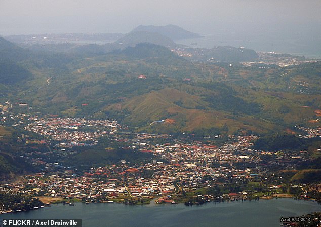
The epicentre of the quake, which struck at around 5:24 pm (0824 GMT), was around 193 kilometres northwest of the town of Abepura in Papua, USGS said.
The Pacific Tsunami Warning Center said there was no tsunami threat.
There were no immediate reports of casualties or damage.
USGS earlier gave a magnitude of 6.5 before revising it downward.
The vast archipelago nation experiences frequent earthquakes due to its position on the Pacific ‘Ring of Fire’, an arc of intense seismic activity where tectonic plates collide that stretches from Japan through Southeast Asia and across the Pacific basin.
A magnitude 6.2 quake that shook Sulawesi in January 2021 killed more than 100 people and left thousands homeless.
In 2018, a magnitude 7.5 quake and subsequent tsunami in Palu on Sulawesi killed more than 2,200 people.

The epicentre of the quake, which struck at around 5:24 pm (0824 GMT), was around 193 kilometres northwest of the town of Abepura in Papua
And in 2004, a magnitude 9.1 quake struck Aceh province, causing a tsunami and killing more than 170,000 people in Indonesia.
Banda Aceh, the capital of Aceh, was particularly devastated, as waves of up to 20-30m swept through the city and destroyed more than 60 per cent of its buildings.
An estimated 230,000 people died altogether as the tsunami hit the coastlines of 11 countries, including Sri Lanka, India, and Thailand.
Two million people were displaced and made homeless.
This is a breaking news story. More to follow.