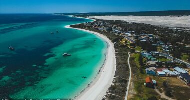
Nature’s Valentine’s Day gift is forecast to bring damaging wind gusts above 200km/h and more than 500mm of rain, which could cause flooding that cuts off major roads for up to a week.
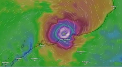
The storm was a category 2 overnight and estimated to be 145km north of Port Hedland and travelling south-west at 13km/h, allowing it to gather strength over water.
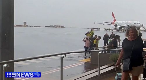
The port – the world’s largest bulk export port – has closed as the mining hub prepaes for the cyclone. Some schools have shuttered and flights have been cancelled from today.
Supermarkets are also working to get extra supplies into the region, about 1600km north of Perth, before roads are cut off.
An extra 40 emergency services personnel have been deployed to the Pilbara region as well as five flood boats with 10 crews, and four additional aircraft are on standby, including a rescue chopper with a winch.
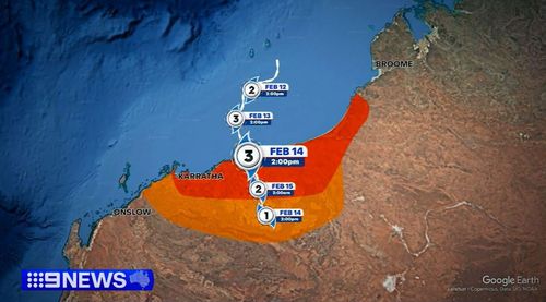
Bureau of Meteorology state manager for Western Australia James Ashley said the system was “expected to take a bit of a wobble to the west” overnight before resuming a southwards motion today.
“A real feature of this system is that it’s quite erratic and slow-moving off the Pilbara coast,” Ashley said.
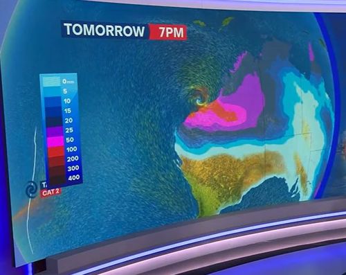
The heaviest falls are forecast to start today and continue through tomorrow, coming off the eastern flank of the system as Zelia approaches and crosses the coast.
It’s expected to dissipate quickly once it makes landfall, becoming a tropical low by Saturday.

Meteorologists also warned residents between Port Hedland and Bidyadanga of the potential of a dangerous storm tide as the cyclone centre crosses the coast.
“Tides are likely to rise significantly above the normal high-tide mark with damaging waves and dangerous flooding of some low-lying areas close to the shoreline,” the Bureau of Meteorology said.
Gales with damaging wind gusts of 120km/h are developing near the coastal fringe between De Grey and Wallal Downs.
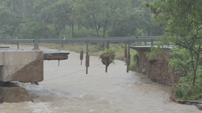
ADF to build temporary bridge to give access to flood-ravaged town
This could extend along the coast between Bidyadanga and Dampier including Port Hedland and Karratha.
A number of flood warnings and watches were in place across the state, including the Pilbara Coastal Rivers, Onslow Coast, Fortescue River, Ashburton River and parts of Sandy Desert Catchments.

