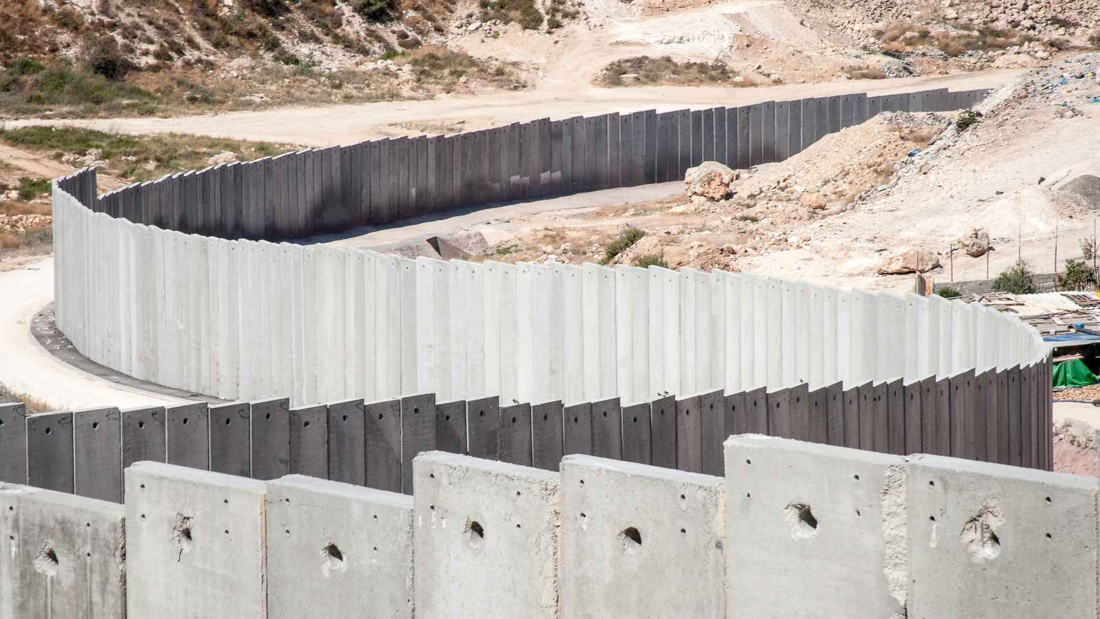
USA Today has a good illustration of Gaza and its border wall, aka the “Iron Wall,” which lines the region. Ultimately, it’s the location of Gaza’s border wall exits that makes it so difficult for civilians inside to evacuate — they funnel evacuees into tight bottlenecks. Gaza is shaped like a slim rectangle, with the long, western bordering connected to the Mediterranean Sea. The short, northern side has one exit: the Erez border crossing. Both of the other two exits — the Rafah and Kerem Shalom border crossings — are on the exact opposite border in the Gazan south.
Read Related Also: Man Indicted On Murder Charges Over Attack On 2 U.S. Tourists Near German Castle
People living in the entire middle stretch of Gaza would have to travel all the way to northern or southern crossings to exit. And, if millions of people are trying to exit at the same time, a timely or orderly exit is all but impossible, especially because Gaza’s landmass is so slender. Plus, the country’s infrastructure is already in ruins from recent shelling, as Al Jazeera describes. To top it all off, the western exit along the southern border — the Rafah border crossing — borders Egypt, not Israel, and has been blocked by Egyptian authorities. The Rafah border crossing is more central to Gaza’s southern border than the other Kerem Shalom border crossing in Gaza’s southeast. So, if citizens want to escape Gaza via the southern border, they have to travel to the furthest, most southeastern corner of the entire region.


